Brit Catchment Natural Flood Management Project
Using natural solutions to help reduce flood risk for those living in the Brit Catchment.
Using natural solutions to help reduce flood risk for those living in the Brit Catchment.
Dorset National Landscape is leading a major project to reduce flood risk across the Brit catchment, covering Beaminster, Netherbury, and Bridport. By using natural solutions, we aim to manage flooding, support Bridport’s flood defences, and enhance local wildlife habitats.
We have secured funding from the Environment Agency’s Natural Flood Management (NFM) Programme, with support from partners including West Dorset Wilding and Dorset Wildlife Trust. The project is worth £654,500 and will run until March 2027.
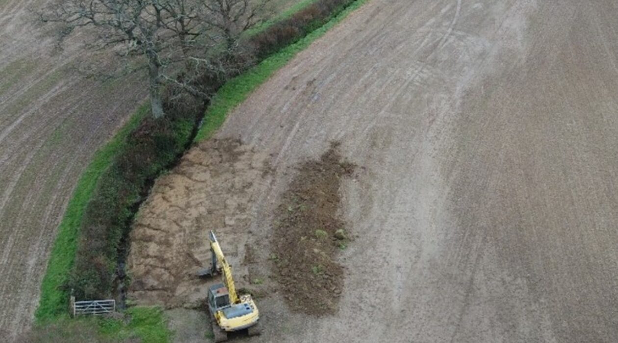
Flooding is a serious issue for our communities. The Environment Agency operates a flood defence scheme in Bridport, but heavy rainfall and surface water runoff still pose risks, especially when the ground is saturated. Sediment build-up behind the defences is also costly to manage.
By working with nature, we can slow the flow of water, reduce sediment entering our rivers, and make our catchment more resilient to extreme weather.
Over the next two years, the project will:

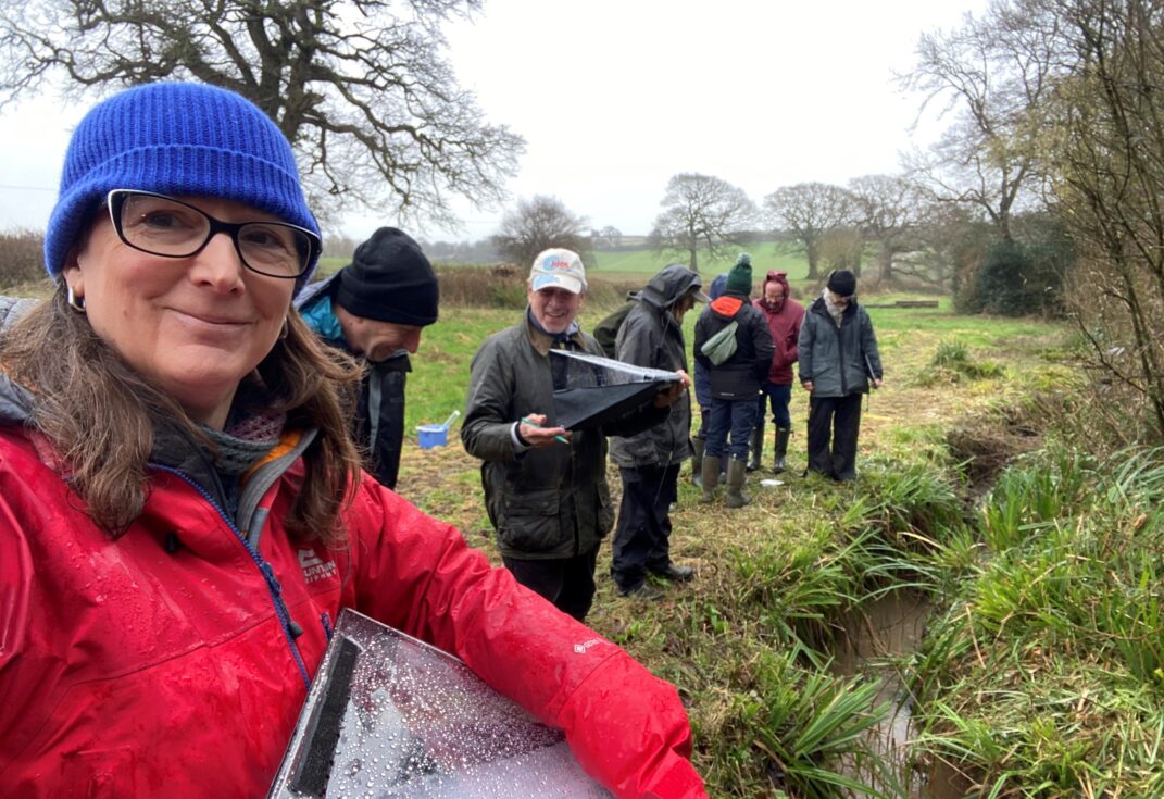
We welcome community involvement throughout the project. Volunteers play a key role in monitoring water quality and helping us understand the benefits of these natural interventions.
If you would like to get involved or have questions about the project, please contact Ian Rees at ian.rees@dorsetcouncil.gov.uk.
This project is a Dorset Wild Rivers partnership project between Dorset National Landscape, West Dorset Wilding, and Dorset Wildlife Trust. It is supported by the Environment Agency through their Natural Food Management Programme.