Dorset AONB Tests & Trials

Welcome to the resource library for the Defra Tests & Trials project in Dorset. This project is now finished: we looked at how maps might be used to help deliver the ambitions of the Dorset AONB Management Plan through Government schemes.

If you don’t find what you are looking for please contact Ian Rees, Dorset AONB Countryside Officer:  ian.rees@dorsetcouncil.gov.uk
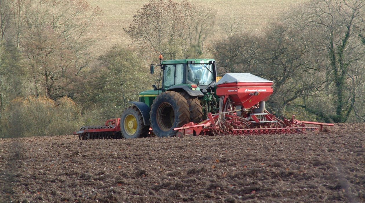
Farming in the Sydling Valley (c) Mark Simons

What did we do? 

We worked with farmers and land managers, as well as Dorset Wildlife Trust, Farming and Wildlife Advisory Group South West and Dorset Environmental Records Centre, to see how locally produced maps might help to identify opportunities for delivering these benefits at both a landscape and farm scale:

  • We developed Strategic Landscape Plans for three areas in the Dorset AONB: the Brit Valley & Marshwood Vale, the Cerne & Sydling Downs, and South Purbeck.
  • We used these to produce 9 farm-based plans which we discussed with farmers through a series of farm visits and online discussions.
  • In South Purbeck we also worked with farmers to look at how best to manage land to control scrub and encourage farmland birds and arable plants.

What did we find out? 

  • Maps are a useful tool, and farmers welcomed the opportunity to explore how they might be used to deliver ‘public goods’ on their farms alongside their own detailed knowledge of the land and advice from a trusted source.
  • Collaboration amongst farmers was recognised as a critical part of future environmental land management and the Strategic Landscape Plans were recognised as a useful tool to help deliver this alongside trusted advisors to drive it forward.
  • In order to make the best possible decisions, the maps must be based on the best possible local data.
  • Farmers welcomed the opportunity to find their own farm-specific actions that would deliver public goods.

You can see examples of our Strategic Landscape Plans on the downloads below, along with an example Farm Scale Plan.