Langton Herring Village Map
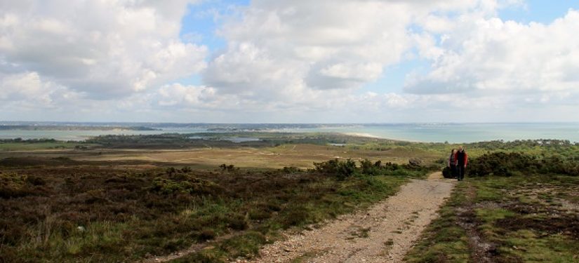
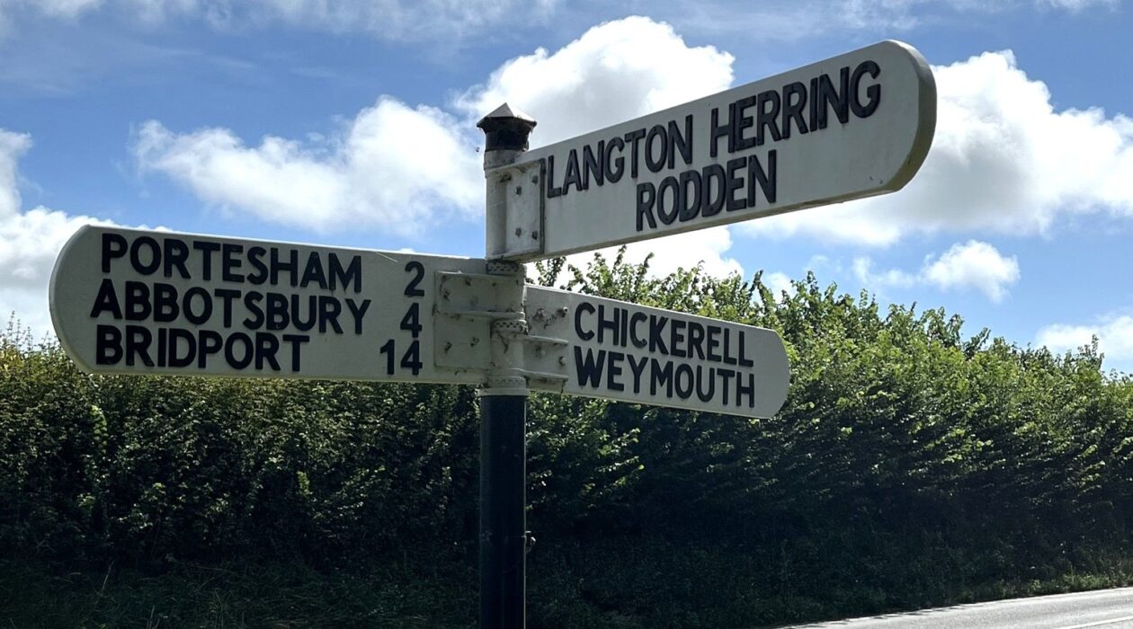
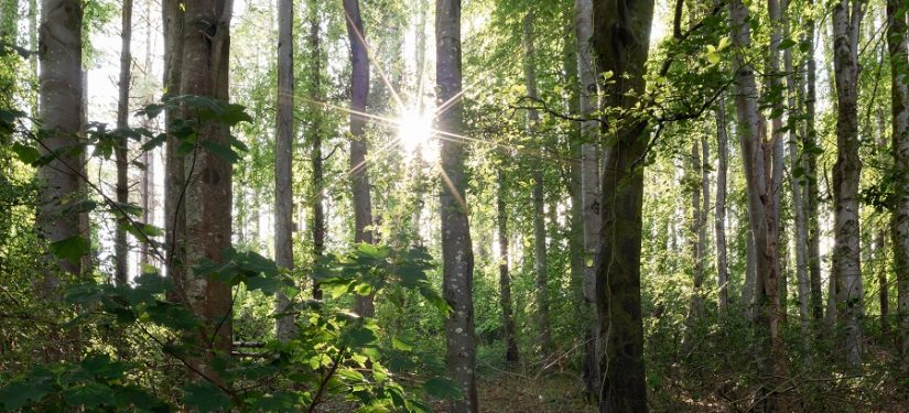
Langton Herring – A tranquil village on the Jurassic Coast, offering stunning walks and views over Fleet Lagoon.
Langton Herring – A tranquil village on the Jurassic Coast, offering stunning walks and views over Fleet Lagoon.
This project was awarded Dorset National Landscape Fund support in 24-25.
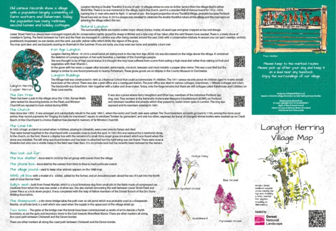
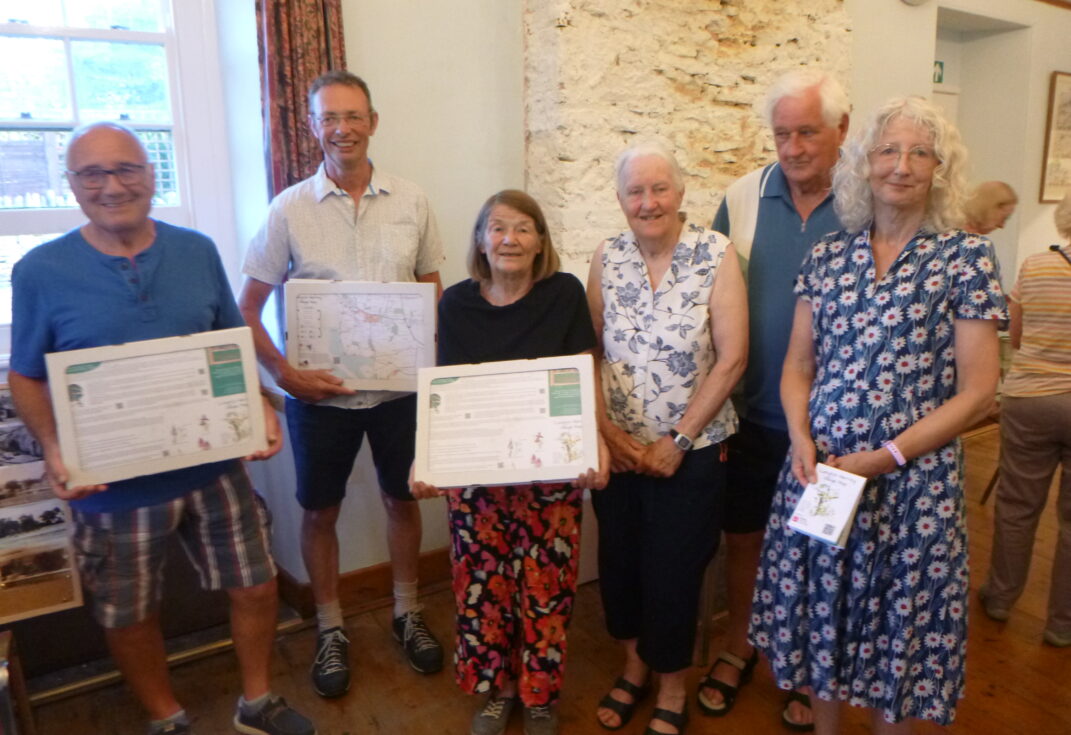
A local resident shared an old map showing the traditional field names, which sparked an idea. With so many holiday cottages in the area, often let to visitors who love the countryside and walking, the village decided to create a map of the footpaths inspired by this historic resource. The aim was to produce something similar to the Ridgeway project maps created by Dorset National Landscape (DNL) – informative, attractive, and practical.
The new map highlighted local paths while preserving the heritage of the old field names, making it useful for both residents and visitors. It became a way to connect people with the landscape and its history, encouraging exploration and appreciation of the area.
Thanks to the DNL Fund, this project successfully brought the past and present together in a way that benefits the whole community.
The project aimed to make local heritage and countryside access more visible and engaging. By using the old field names map as inspiration, the goal was to create an attractive and informative footpath map that would connect people with the landscape and its history.
It sought to encourage walking, exploration, and appreciation of the environment for both residents and visitors.
The objectives were practical and community-focused. We planned to:
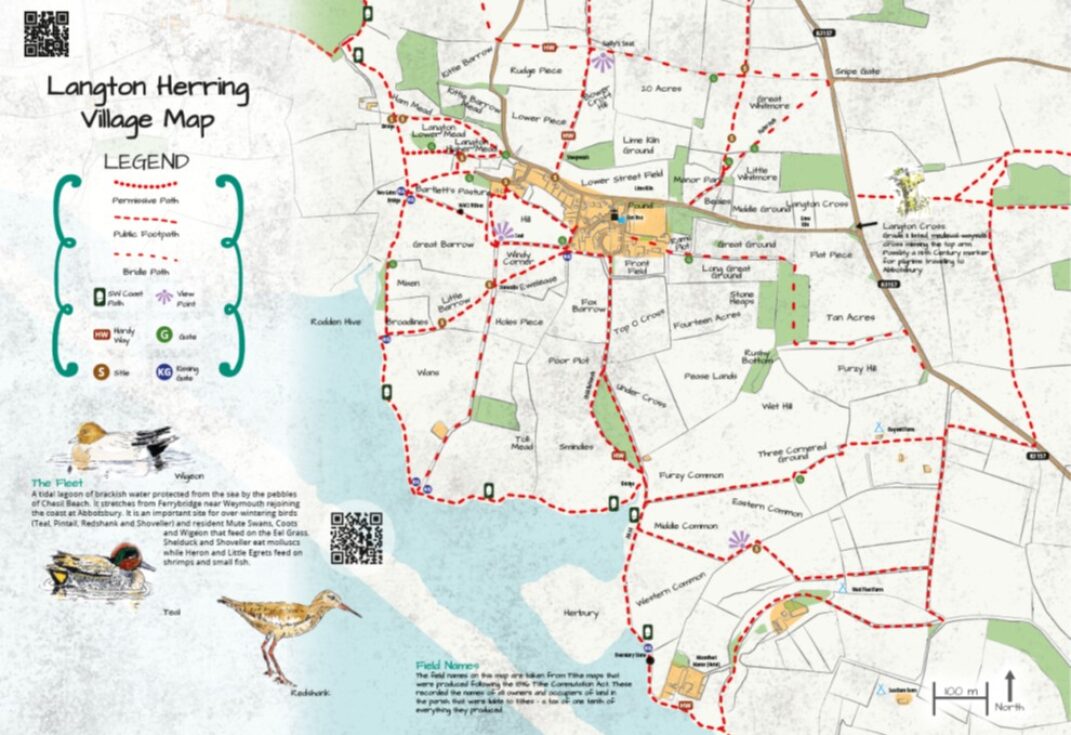
The project successfully achieved its objectives. The new village footpath map was produced and made available online, ensuring easy access for everyone. To enhance the experience, QR codes were created to link walkers directly to features and points of interest.
The DNL Fund was used effectively to cover printing and associated works, allowing copies to be distributed locally and displayed in key community spaces. This combination of traditional mapping and digital tools brought heritage and modern convenience together, creating a valuable resource for residents and visitors alike.
The project delivered a practical and attractive village footpath map that benefits both the local community and visitors. Residents and holidaymakers can now easily discover how and where to access the countryside through the extensive network of footpaths and bridleways.
This resource encourages people to get outdoors for a walk – well known to boost mental health and well-being – and gives them confidence that they won’t get lost. With stiles, gates, and other features clearly marked, walkers can plan routes suited to their abilities.
Who Benefited?
Volunteer Contribution:
Young People:
Not directly involved, but some young adults showed interest in the original historic map.
The project was designed as a one-off and did not require ongoing funding. The initial print run was expected to last for several years, ensuring long-term availability of the maps in the community.
To extend access even further, the map and accompanying information were subsequently hosted online on the village website. This approach provided a lasting resource for residents and visitors without the need for additional financial support.
Suggestions to others thinking of doing a similar project:
Collaboration is key! Partners, local community volunteers and professionals working closely together made the delivery of this project a success, enabling us to go forward with future plans.
local funds